提供优雅可编辑的 PPT 资源
免费账号可使用下载额度,Pro 会员不限次数下载。以账户当前权益为准。
¥49/年,模板不限次数下载,每月再含 20 次 AI PPT 制作。
支付成功后,可直接使用模板下载与 AI 制作权益。
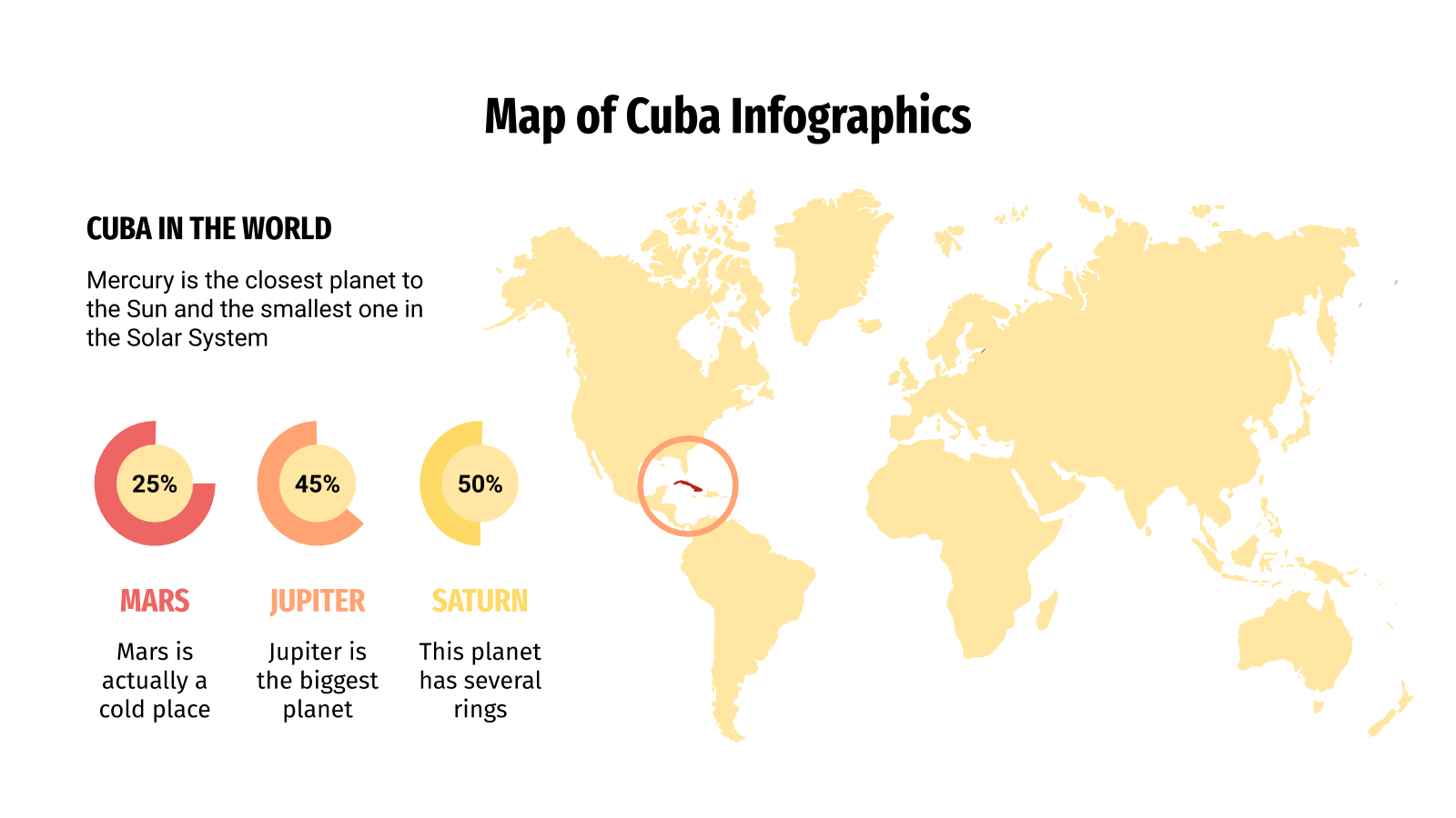
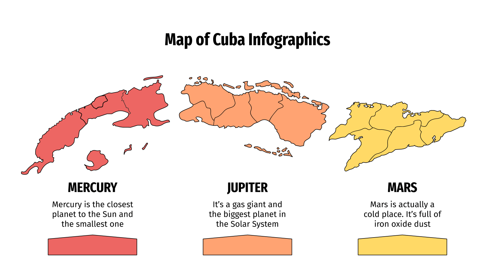
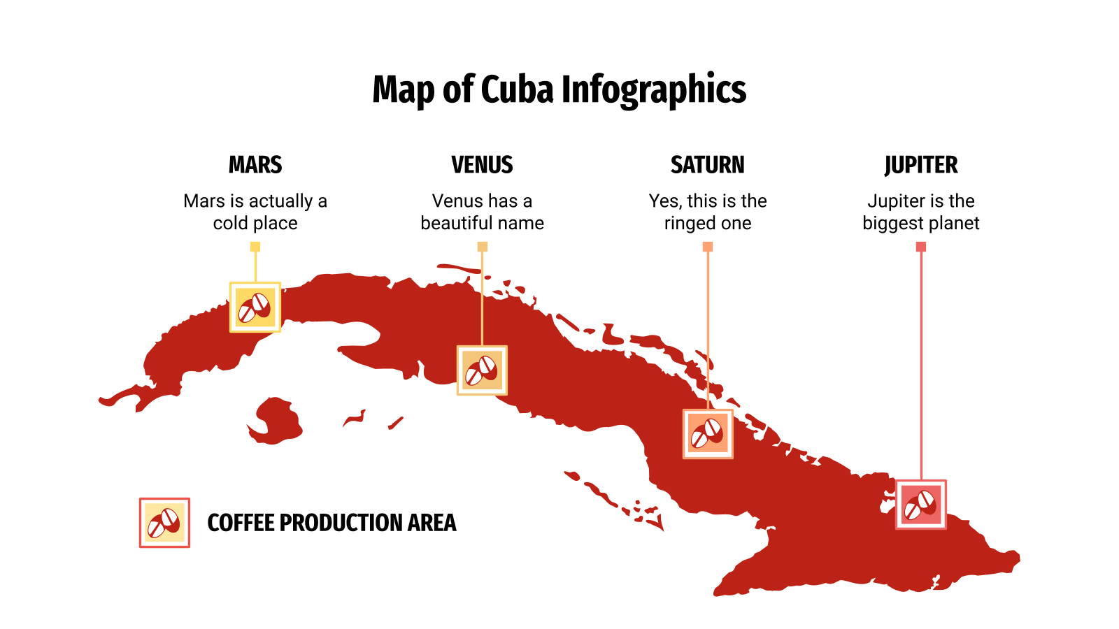
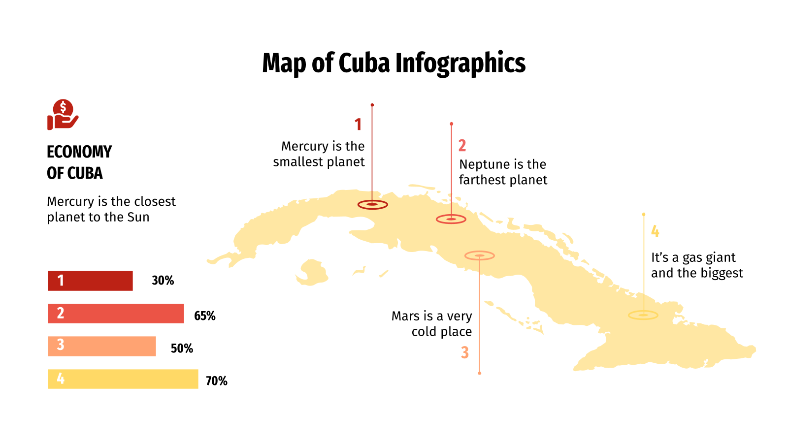
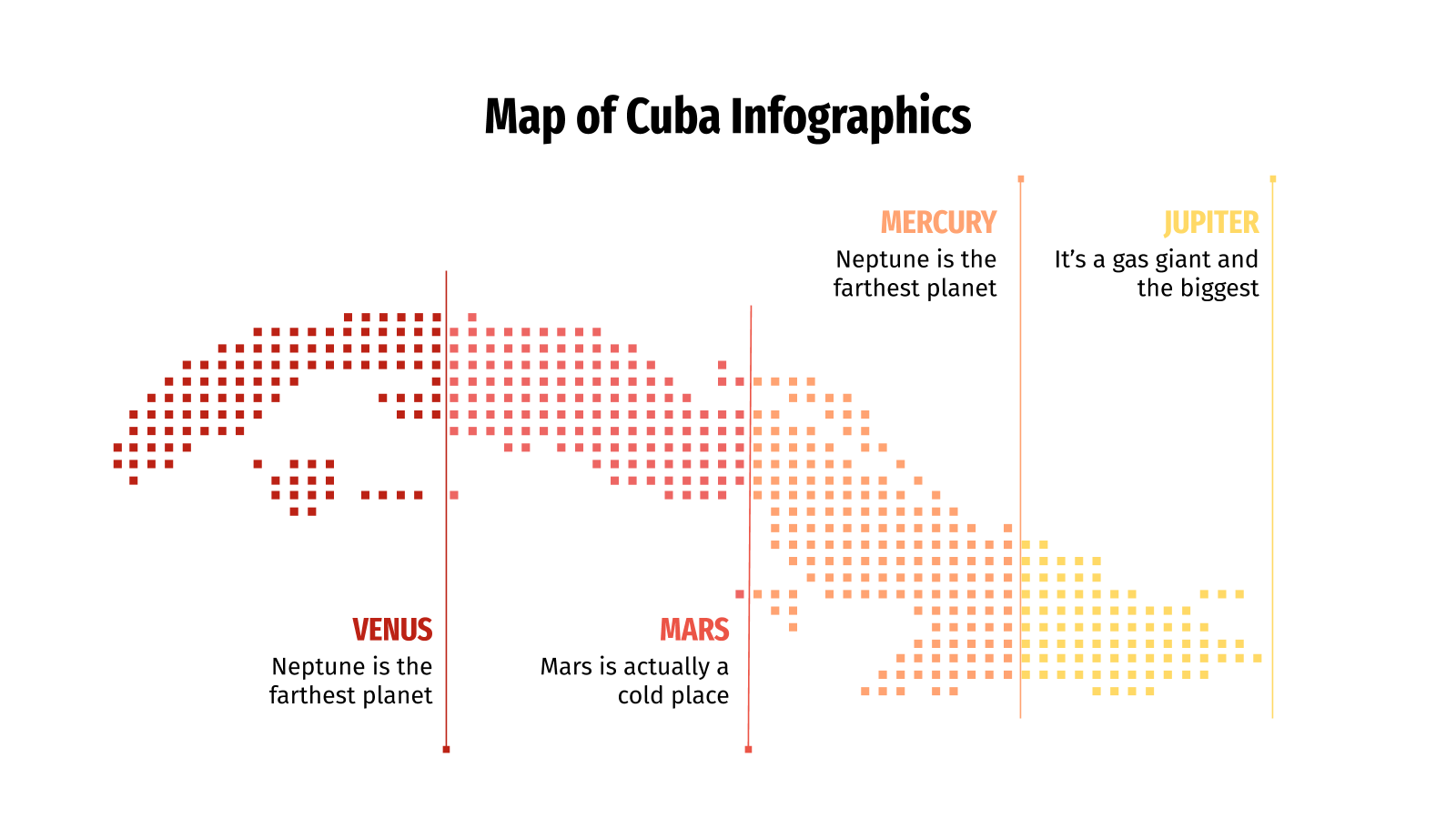
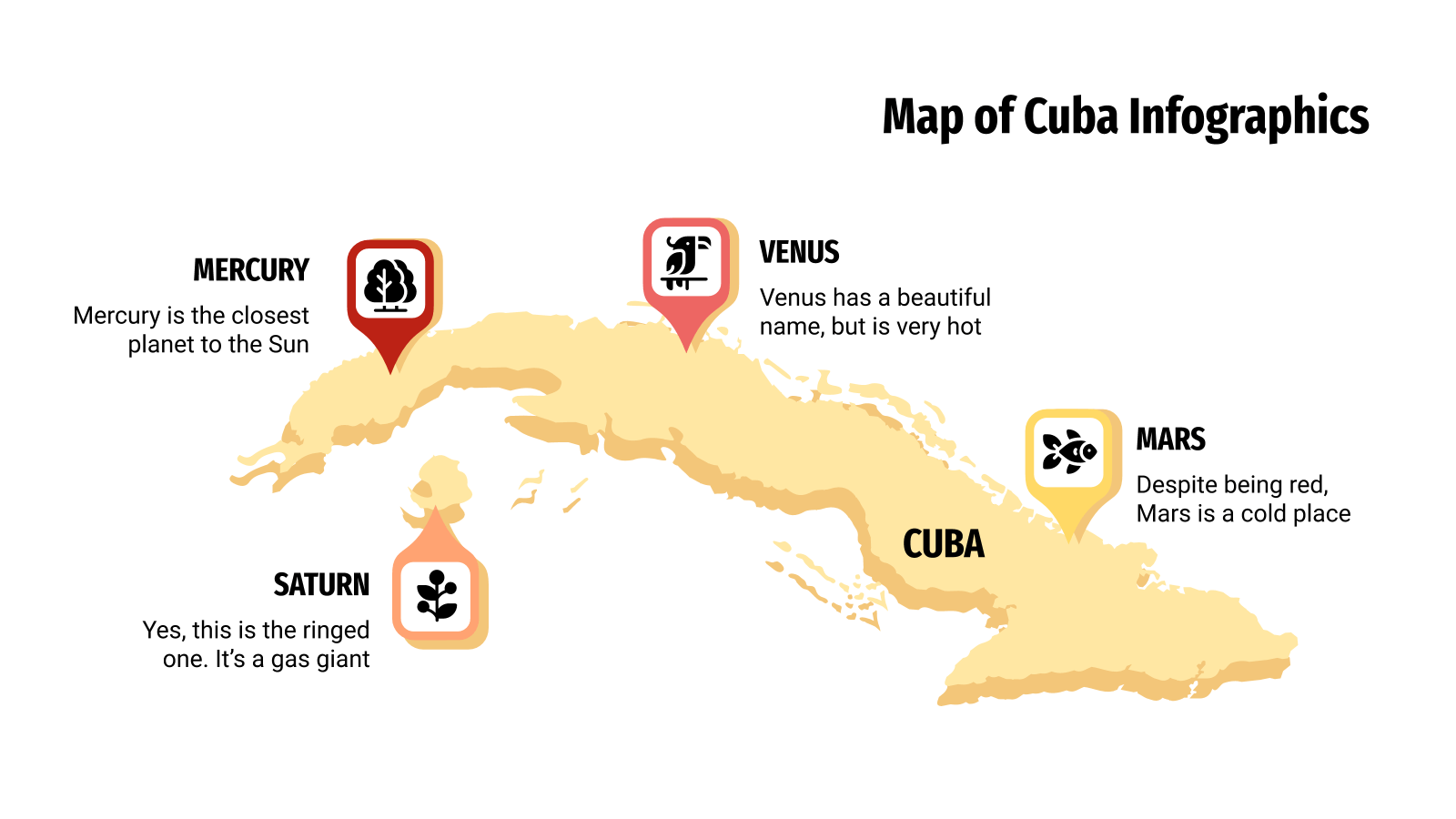
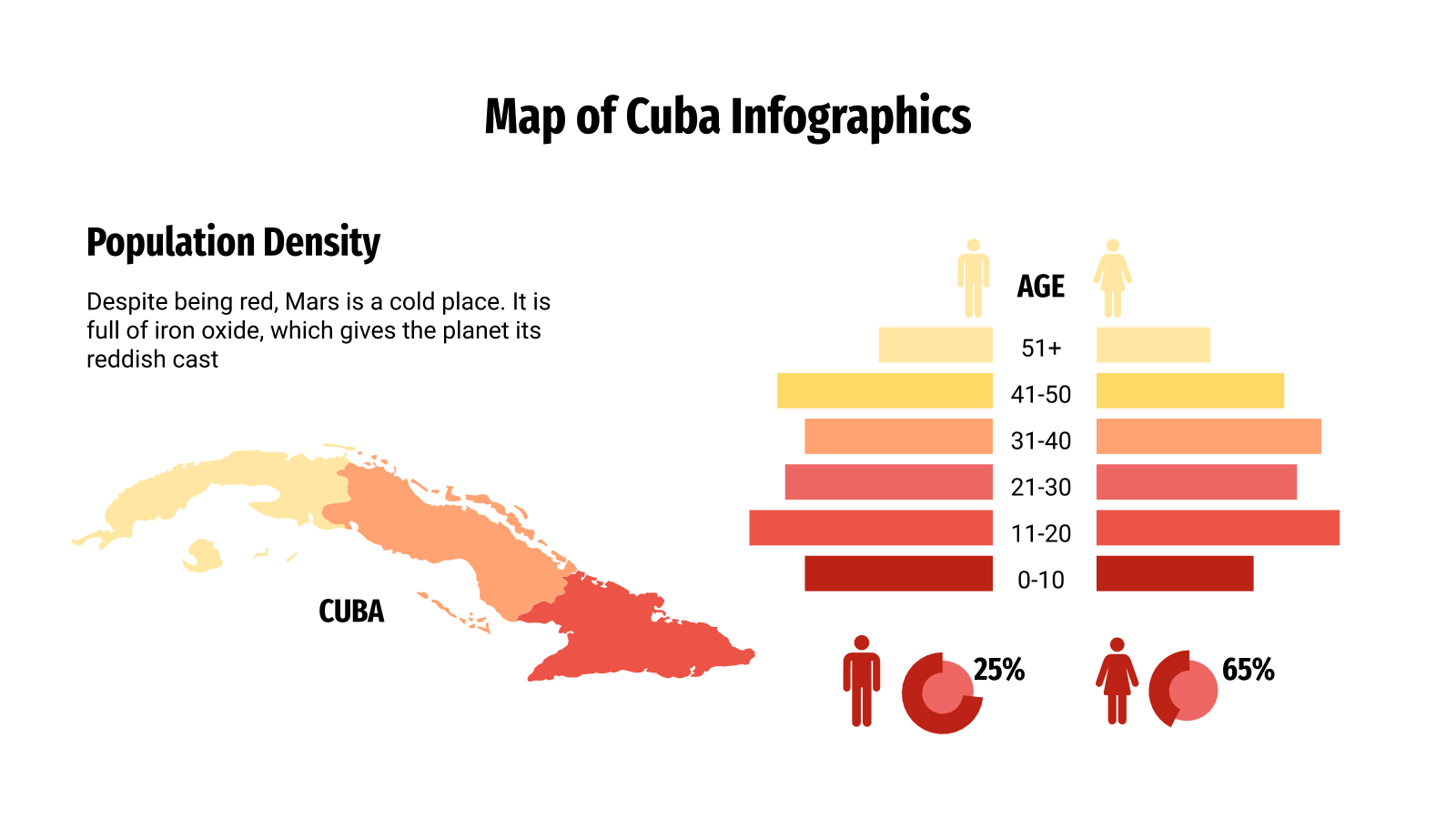
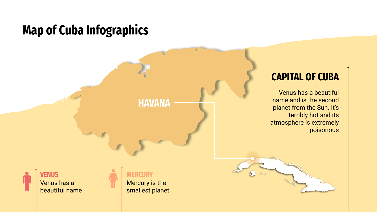
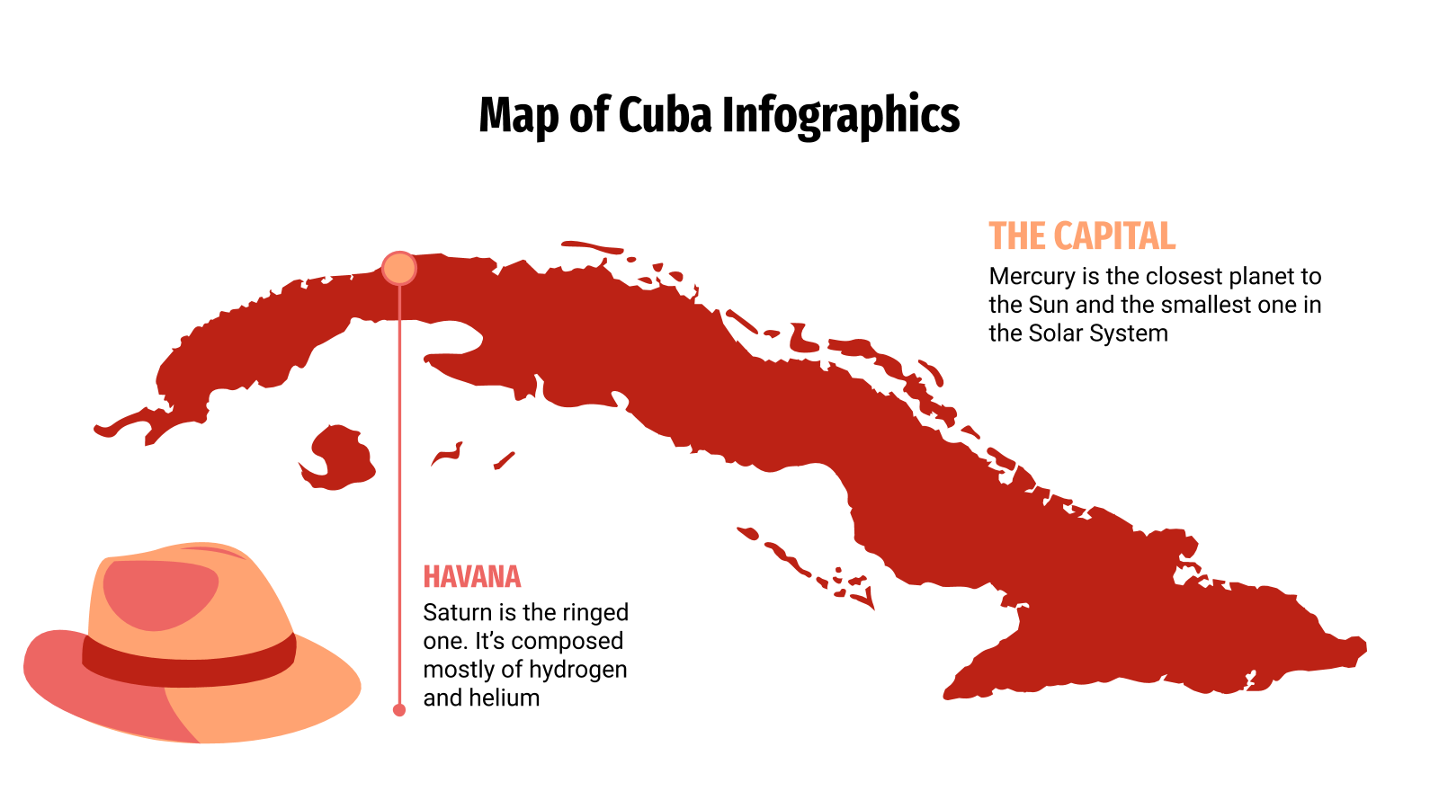
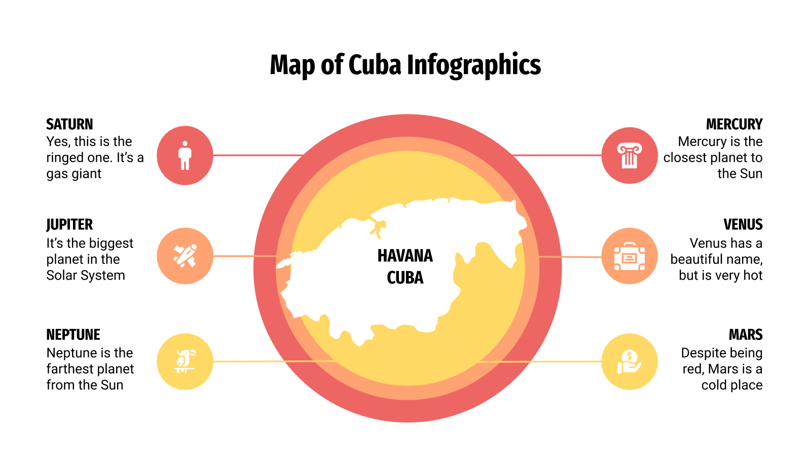
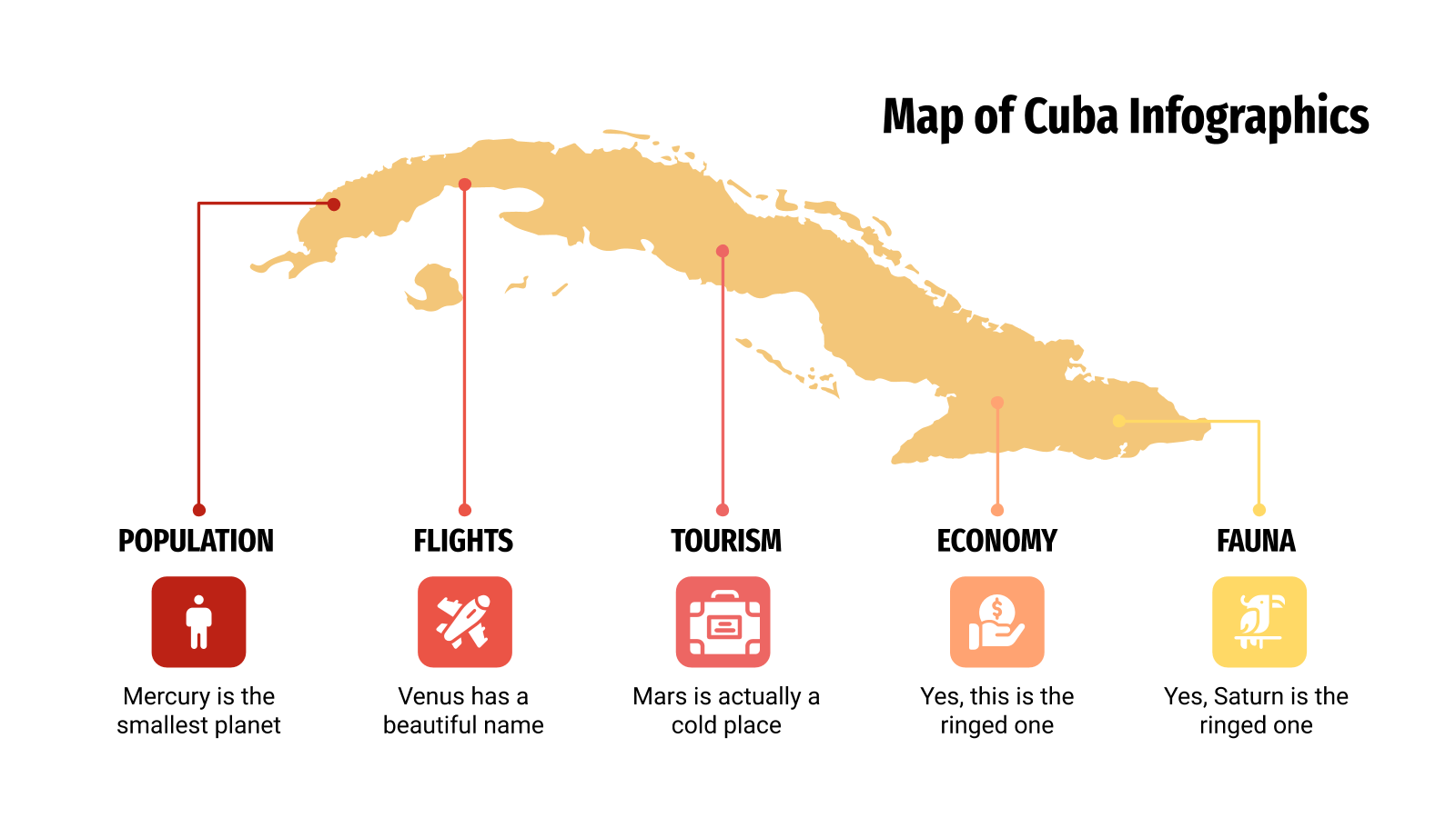
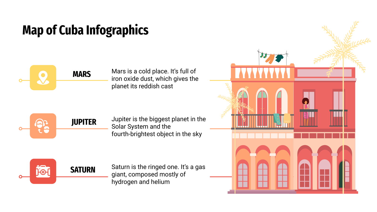
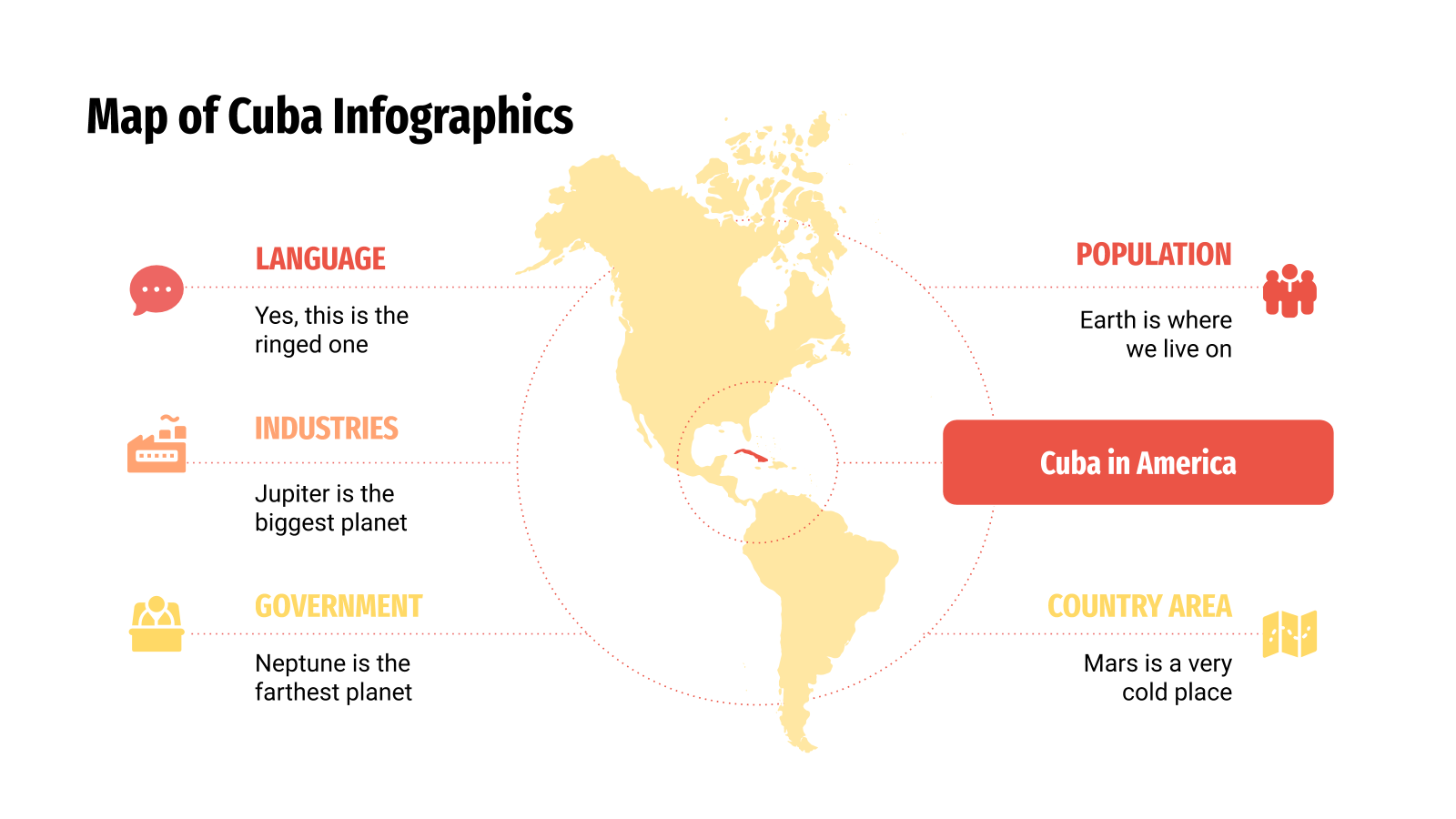
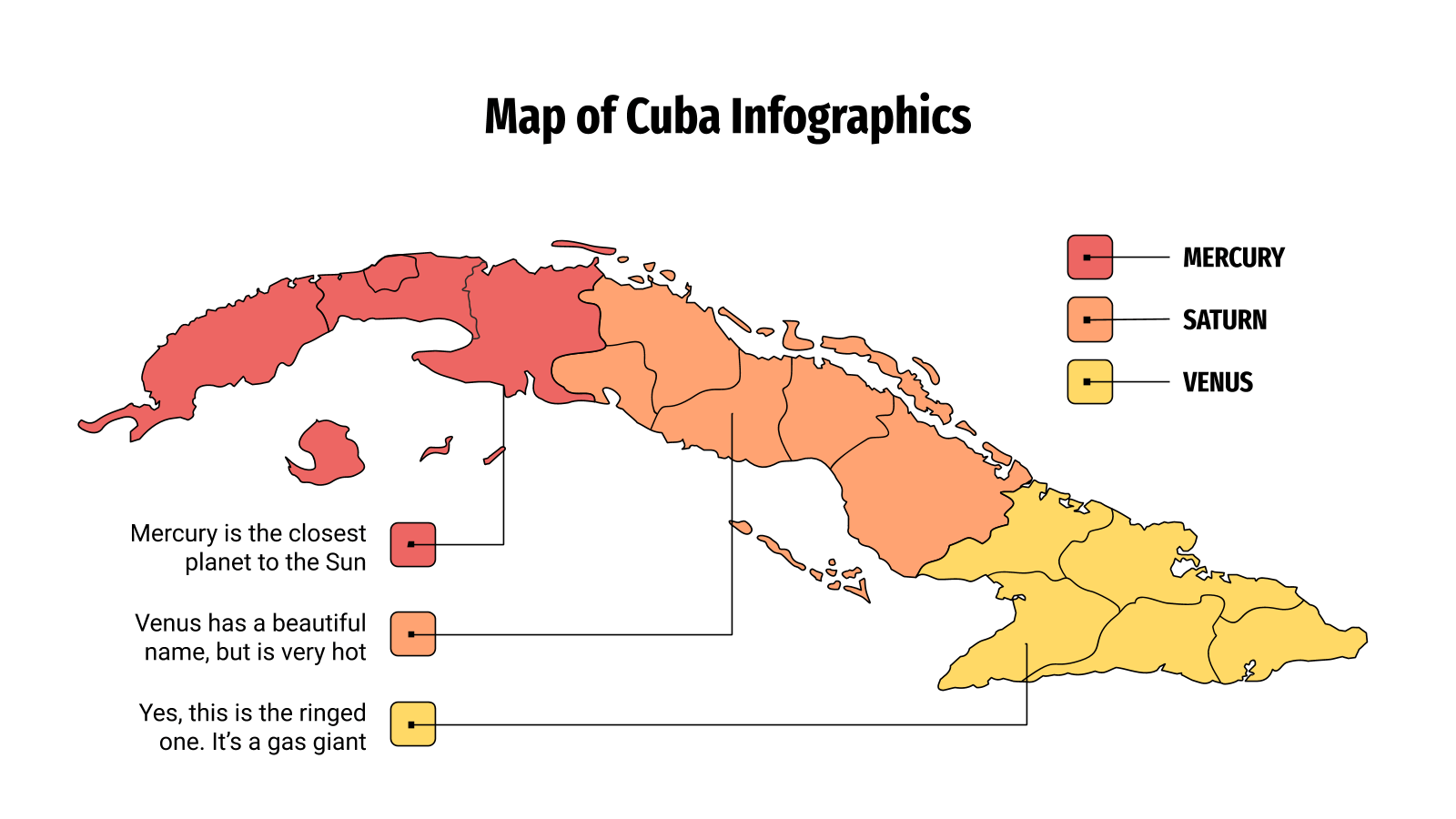
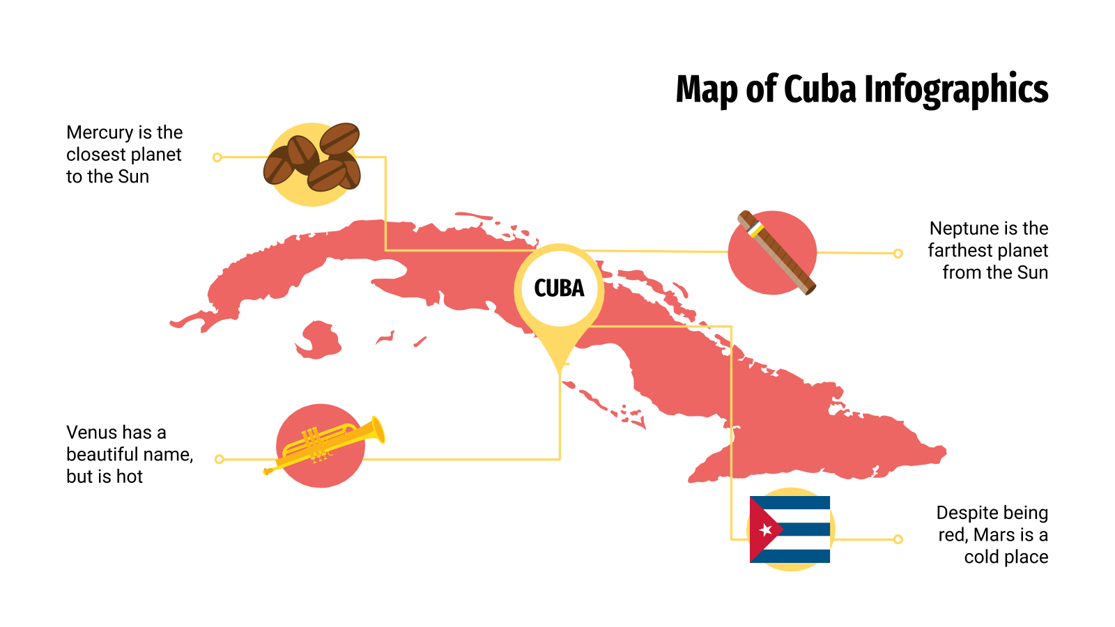
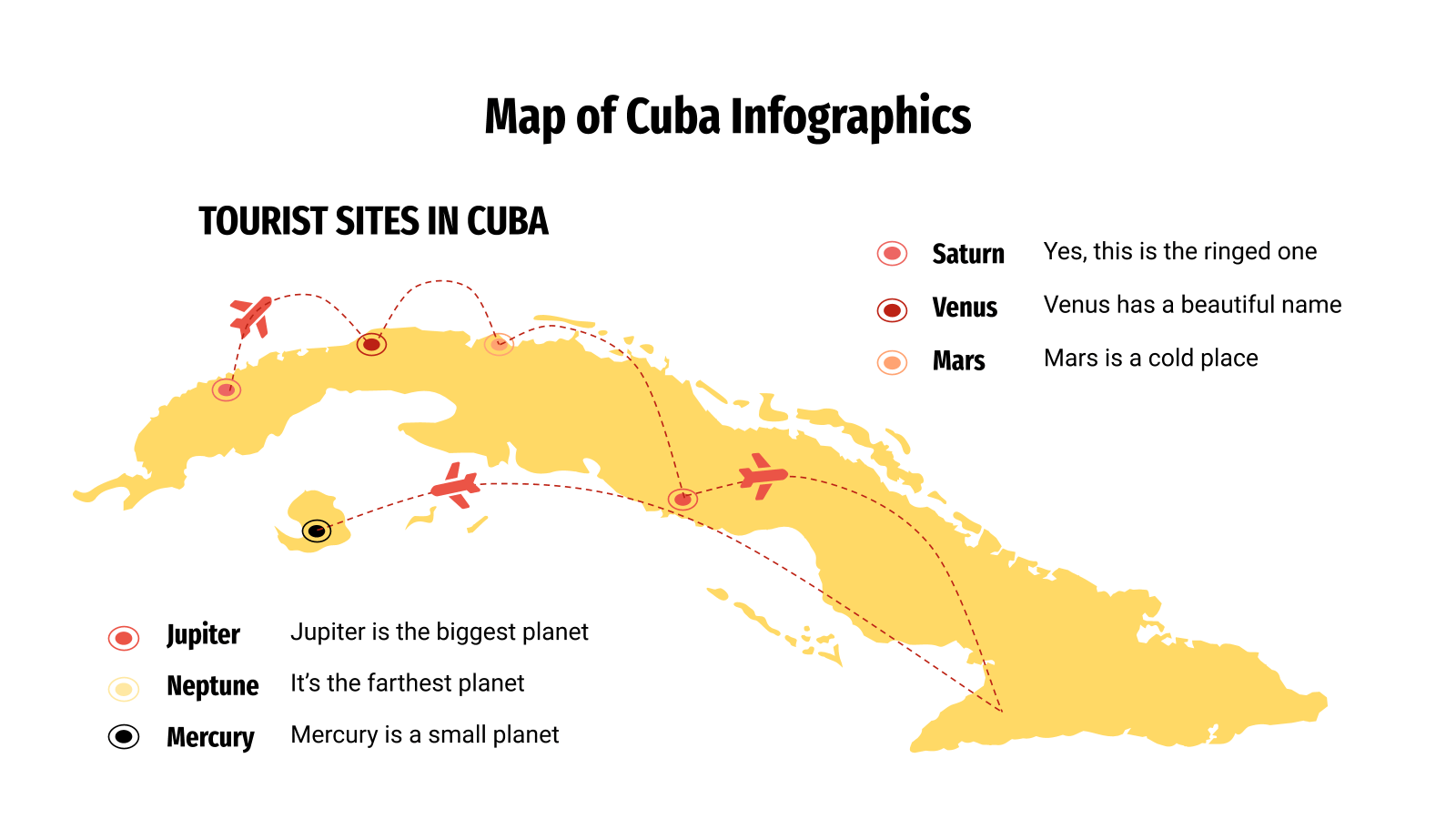
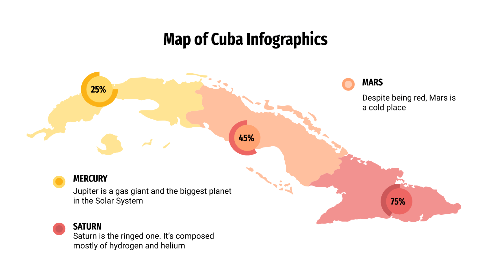
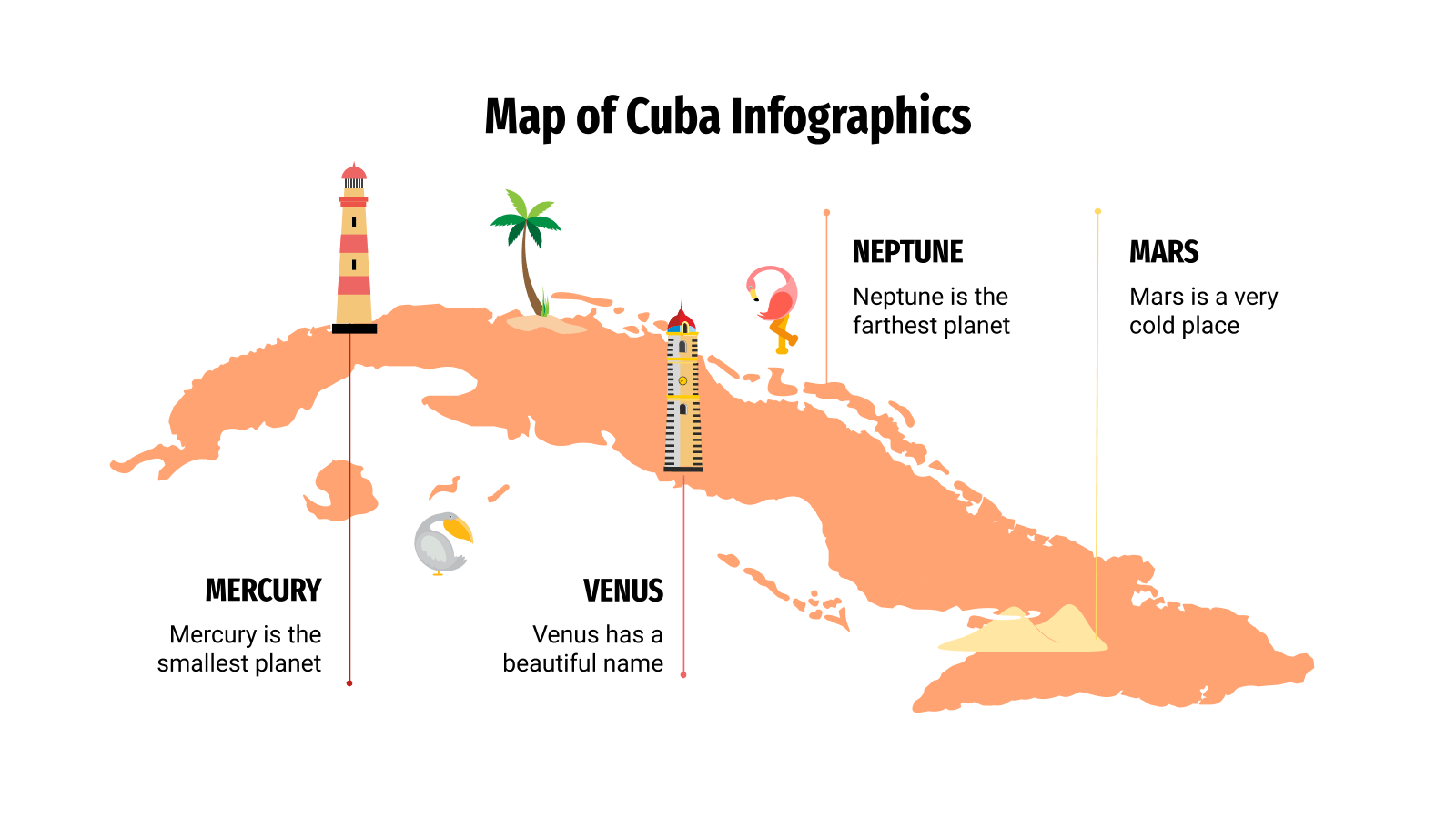
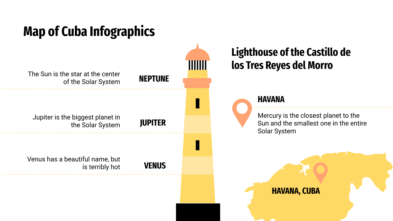
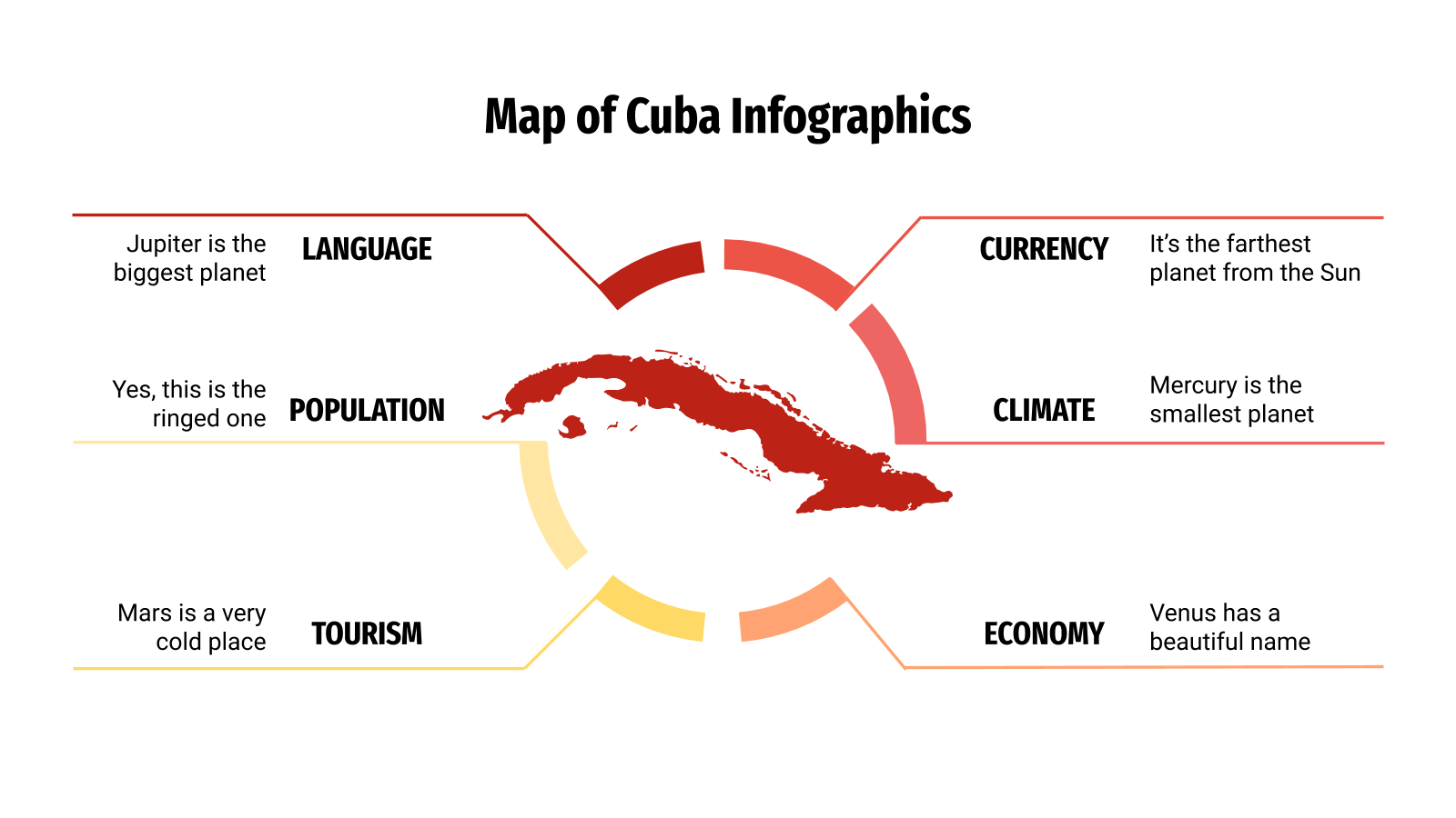
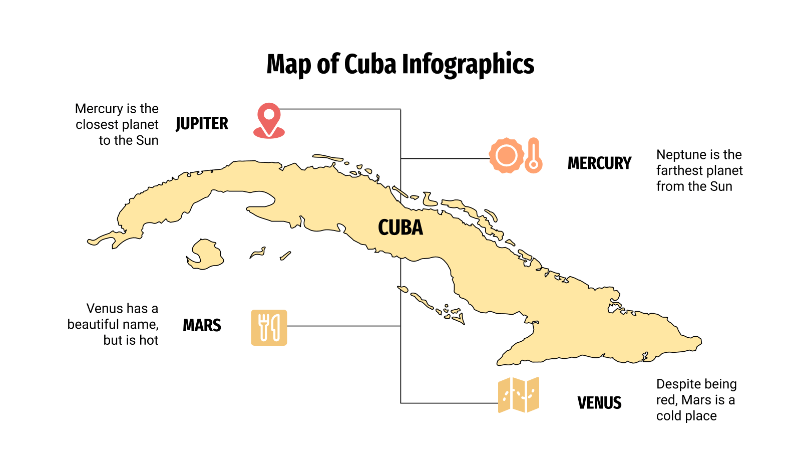
用这些可编辑的信息图形以视觉方式表示古巴的地理或人口数据,供演示。这个加勒比海岛是我们所有设计的中心点,它们都适合谈论气候、重要地点、人口、地标等。样式是平的、线性的和填充的,还有一些图表、百分比和其他资源作为额外的。
100%可编辑,易于修改 · 30种不同的信息图表可增强您的演示文稿 · 包括图标和Flaticon的扩展,以便进一步定制 · 设计用于Google幻灯片、Microsoft PowerPoint 和Keynote · 16: 9适用于所有类型屏幕的宽屏格式 · 包括有关如何编辑和自定义信息图形的信息
已经根据模板主题和现有介绍整理,可直接带入 AI 制作。
介绍演示目的:通过信息图表展示古巴的地理与人口数据,帮助观众快速了解古巴的关键信息。
简要介绍古巴的地理位置、面积、首都等基本信息,为后续数据展示奠定基础。
说明古巴的地理特征,如岛屿形状、地形分布,以及这些特征对气候和人口的影响。
展示古巴的气候类型、温度范围、降水分布等数据,强调其热带气候特征。
呈现古巴的总人口数量、人口密度及近年变化趋势,使用图表直观展示。
分析古巴人口的年龄、性别构成,以及城乡分布比例,突出人口结构特点。
列出古巴的主要城市如哈瓦那、圣地亚哥等,并展示其人口规模或重要性。
介绍古巴的标志性地点,如革命广场、老哈瓦那等,并附上地理位置信息。
展示古巴的经济指标,如GDP、主要产业占比,但注意不编造具体数字,仅用模板中的图表示意。
呈现古巴的游客数量、热门旅游区域等数据,体现旅游业的重要性。
使用地图信息图展示古巴人口在各地区的分布情况,突出人口密集区域。
用地图或图表展示古巴不同气候区域,如东部、西部差异,并说明特点。
展示古巴的自然资源分布,如矿产、农业资源,结合地图呈现。
展示古巴的主要交通线路,如公路、铁路、港口,体现连接性。
呈现古巴的教育水平指标,如识字率、学校数量,但避免具体数字,仅用图表示意。
展示古巴的医疗资源分布,如医院数量、医生比例,强调医疗体系。
展示古巴的文化特征,如种族构成、语言分布,体现多元文化。
简要介绍古巴的历史发展,如殖民时期、革命,为理解现状提供背景。
展示古巴当前的政策重点或发展规划,如经济改革、可持续发展。
分析古巴面临的主要挑战,如人口老龄化、经济制裁影响,但避免具体数据。
提出针对古巴问题的潜在解决方案,如发展旅游业、促进农业多样化。
说明如何实施上述解决方案,包括政策调整、国际合作等步骤。
展示实施解决方案后可能带来的积极变化,如经济增长、民生改善。
演示如何使用模板中的图表和地图展示古巴数据,强调可编辑性。
展示如何利用图标和图形增强演示效果,如使用Flaticon扩展。
提供编辑和自定义信息图形的简要指南,帮助用户修改数据。
以古巴某地区为例,展示如何综合运用地图和图表呈现数据。
将古巴与其他加勒比国家进行数据对比,突出其特点。
展望古巴在数据趋势下的未来发展,如人口变化、气候影响。
总结演示要点,鼓励观众使用模板进行进一步分析,并采取行动。
继续查看同类风格、场景和主题的可编辑模板。